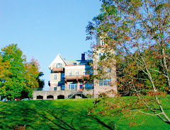
Here's what Frost Valley looks like from above and a bit from the south - as per Google Earth.
Brian Sense has taken a long close look at this photograph. And he writes:
The overhead view of the valley from your blog popped up in my rss feed today and I couldn’t help but start playing the game of when exactly the photo was taken based on all the amazing changes and what is in the picture…it may take all the readers of the blog, but I bet we could nail that satellite shot down to within a month of its taking.
Here are the timeframe indicators I see to give us clues (though I am sure there are more):
(1) Lakeview Lodge roof was on but no landscaping yet;
(2) Construction on the new Wellness Center has not broken ground;
(3) Big Tree seems to have leaves on it still;
(4) The docks are not in their summer formation;
(5) The Y-tower is not built, but the Halbe Brown Pavilion is;
(6) I don’t yet see evidence of the butterfly garden behind Admin.
It can be like Challenge Night…for your blog readers…with no Chinese food reward!
Using the six pieces of information above, can you say what year and what month (or at least season) this Google Earth photo was taken?
Later: Kenny Nathanson notes that Google Earth has now provided from-the-ground photography of the landscape along and on either side of the county road that passes through Frost Valley. For that amazing view, click here.